Learn about groundwater, its definition, occurrence, and interesting facts. Discover the water table and how groundwater is essential for drinking, agriculture, and industry. Understand the importance of managing and conserving this vital resource.
Groundwater; is subsurface water lying at depths at which all the “pores” in the rock materials are saturated by the water. Such pores include the spaces between boulders, pebbles, grains of sand, or particles of clay, and the fractures, fissures, and cavities in consolidated rocks. In polar regions and high mountains the subsurface water exists as ground ice, or permafrost.
The source of most groundwater is precipitation over land areas. The total volume of groundwater lying within about a half mile (about four fifths of a kilometer) of the surface beneath the continents and islands is estimated as approximately 1 million cubic miles (4 million cubic km). This is less than 0.3% of all the water on earth, but is nevertheless more than 20 times the total amount of water in all the lakes, streams, swamps, and soils of the landmasses. This volume is also as great as the total precipitation upon land surfaces in about 40 years. Groundwater reservoirs may include accumulations of water from the precipitation of past decades and centuries.
Importance to Man:
Groundwater constitutes by far the largest reserve of potable water in the habitable lands of the world. In arid regions and areas remote from streams or lakes or other surface water, millions of people obtain groundwater from wells. Groundwater is also important to man at sites where it comes to the surface as springs, and where it sustains the flow of surface water during rainless periods. Even where surface water is available, groundwater may be preferable because it is more uniform in temperature and chemical quality, provides a more regular supply, and is more likely to be free from sediment or organic impurities.
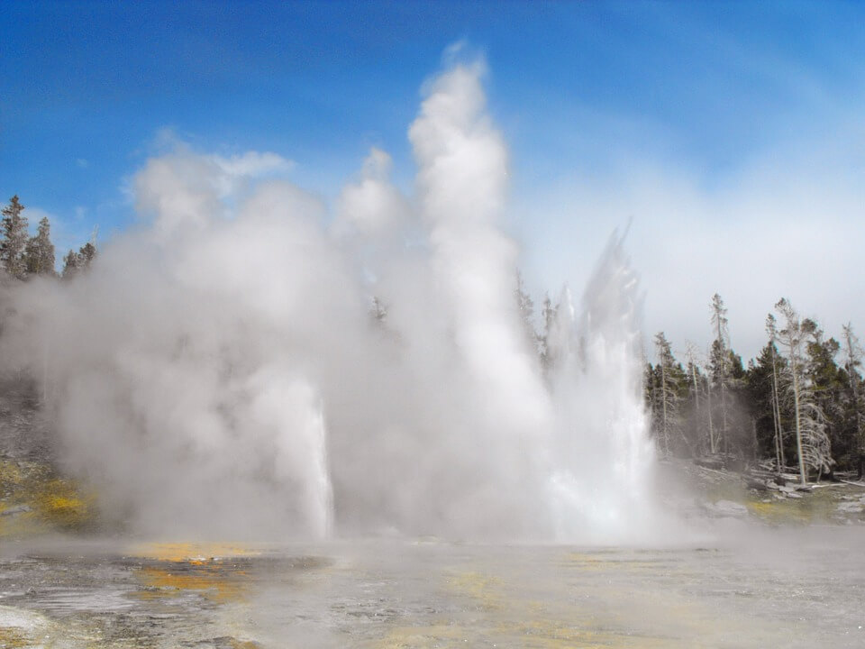
Source: pixabay.com
OCCURRENCE
Groundwater is widely but unevenly distributed over the land areas of the world, reflecting the tremendous variation in the pore spaces of rocks of the earth’s crust. The total pore space in materials such as well-sorted gravel, sand, silt, or clay commonly amounts to more than 30% of the total volume of these materials. Poorly sorted sediments have less porosity, and the porosities of consolidated rocks generally range from 20% to less than 1%. Pore space also generally decreases with increasing depth.
Aquifers:
Permeable rocks have pores sufficiently large and interconnected to permit water to move through them by the force of gravity. If such permeable rocks are saturated, they are called aquifers (water-bearers). Aquifers yield water to springs, streams, and lakes, and to the wells dug by man. Many of them have been formed in layers. When the layers are horizontal or nearly so, a succession of them can be tested for water simply by drilling a vertical hole, but the search is more complicated if the layers have been tilted or folded.
The most productive wells obtain water from aquifers of sand and gravel, limestone and other soluble rocks, basalt, and sandstone. Streams flowing from large mountain ranges have formed great deposits of such sand and gravel in inter-montane valleys and piedmont plains and along the watercourses of major rivers. In parts of North America and Europe, the water flowing from ancient continental ice sheets also has formed water-bearing deposits of gravel and sand.
Aquicludes:
The pores in some rocks are quite small, so that water is held in them by molecular forces. Such rocks, which preclude or retard the movement of water through them, are called aquicludes or aquitards. Among such rocks are clay, clay mixed with sand or gravel, shale, silt, glacial till, and weathered residual rocks.
At the land surface many aquicludes make excellent soils, with porosities exceeding 50%, and with the ability to retain moisture for growing vegetation. Aquicludes also occur at shallow depths in extensive areas; where saturated, they drain slowly to many thousands of wells.
An aquiclude may inhibit downward movement of water to an underlying aquifer, creating a saturated zone (called perched groundwater) above the aquiclude. On the other hand, the aquiclude may act as a confining layer over an aquifer that contains water under artesian pressure. Pumping water from an aquifer may induce slow drainage or leakage from an overlying aquiclude, which may result in compaction of the aquiclude and subsidence of the land surface.
Aquifuges:
Rocks that contain no interconnecting pores and neither absorb nor transmit water are called aquifuges. They include some dense sedimentary and volcanic rocks, and especially the plutonic and metamorphic rocks that form the “basement” under sedimentary rocks everywhere and that are at or near the land surface in extensive areas. The only pore spaces in these rocks are those produced by weathering near the land surface or by fracturing.
Groundwater in Coastal Areas:
In coastal areas, some aquifers extend out under estuaries and the continental shelf. If they are separated from seawater by an aquiclude, they may contain fresh water suitable for use offshore and on islands. If the seawater has access to the freshwater aquifer, however, pumping the fresh water may cause the sea water to intrude, thus deteriorating the freshwater supply.
THE WATER TABLE
The water table is the upper surface of the zone of saturation in permeable rocks. Its position is revealed by the level at which water stands in wells penetrating the rocks. Above the water table lies the zone of aeration, where the pores in rock materials are not saturated. Water may exist there as both liquid and vapor, and may be mixed with air. The water in this zone is referred to as vadose water.
The form of the water table in many regions is similar to that of the land surface, but with less relief, so that it lies near the surface in lowlands and at a greater depth beneath slopes and ridges. In some areas, notably in arid plateaus and mountains, the water table is hundreds of yards, or meters, below the land surface.
When the amount of water in an aquifer increases, the water table rises. Regions of humid climate, where average annual precipitation exceeds annual évapotranspiration, have a perennial surplus of water. The permeable rocks in such regions may be saturated nearly to the land surface, with the groundwater discharging into streams, so that they have perennial runoff.
Regions of arid climate, where the average annual precipitation is less than the potential evapotranspiration, have a perennial water deficiency. These regions may have large groundwater reserves protected from evapotranspiration, but the replenishment may be small, and large volumes of permeable rocks may remain unsaturated. Surface runoff is seasonal or ephemeral, and much of it may percolate downward.
MOVEMENT OF GROUNDWATER
The permeability of rock materials is a controlling factor in the movement of water in both the vadose-water and groundwater phases of the hydrologie cycle. Within the zone of saturation, the water moves laterally and downward through permeable rocks. A contour map of the water table of an area ( or of the artesian-pressure surface of a confined aquifer) shows the gradient and direction of movement of the groundwater and indicates the areas of recharge into and discharge from the aquifer. Replenishment of groundwater occurs in areas where the rock materials in the zone of aeration are permeable and there is sufficient water for downward movement to the zone of saturation.
Flow Rates:
The natural flow of groundwater takes place at rates that rarely exceed 65 feet (20 meters) a day, except in large channels, and generally the water moves no more than from about 3 feet ( 1 meter ) per day to 6 feet ( 2 meters) per year. At these low velocities the rate of flow varies directly with the gradient, or slope, of the land, the cross-sectional area of porous material through which the flow occurs, and the permeability of the porous material.
Storage and Depletion:
Because of the slow rates of flow, even the most permeable aquifers serve as reservoirs to delay and store water in the course of the hydrologie cycle. When water is withdrawn from a well, the water level in the surrounding rocks is lowered and water moves toward the well to replace the amount lost. Water comes from “storage” in this manner until such time as pumping either induces additional recharge to the aquifer or reduces the former natural discharge rate. Storage depletion and “falling water tables” may occur at different stages of the development of groundwater resources.
Effects of Groundwater Movement:
Because many rocks and rock materials can be chemically changed and dissolved to a greater or lesser extent by water, most subsurface water contains some chemical constituents dissolved from the porous rocks through which it has moved. Pores may be enlarged and caves formed in some rocks by this dissolving action. In addition, some minerals may be redeposited underground to form hardpan, stalactites, veins, mineral concentrations, or cement between rock fragments. Other minerals may come to the surface and form mounds at springs and, in arid regions, saline residues as the water evaporates. Minerals may also be contributed to streams, many of which owe the bulk of their dissolved material to groundwater.
